This is part of a set of classroom materials for the Digital Collection Maps and the Beginnings of North America.
This is part of a set of classroom materials for the Digital Collection Maps and the Beginnings of North America.
This is part of a set of classroom materials for the Digital Collection Maps and the Beginnings of North America.
This is part of a set of classroom materials for the Digital Collection Maps and the Beginnings of North America.
What can old maps teach us about world history? What sorts of evidence do they offer, and is displaying evidence the main purpose of these maps, or can they do other things?
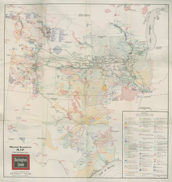
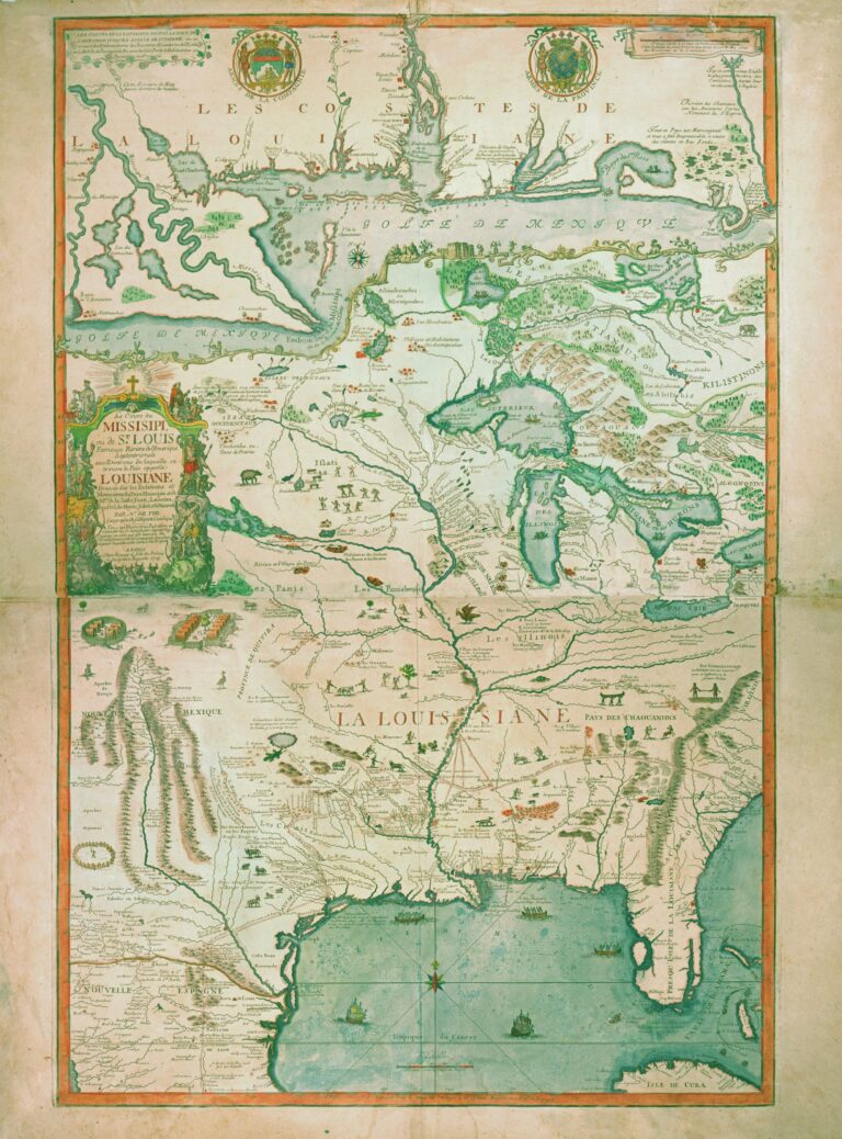
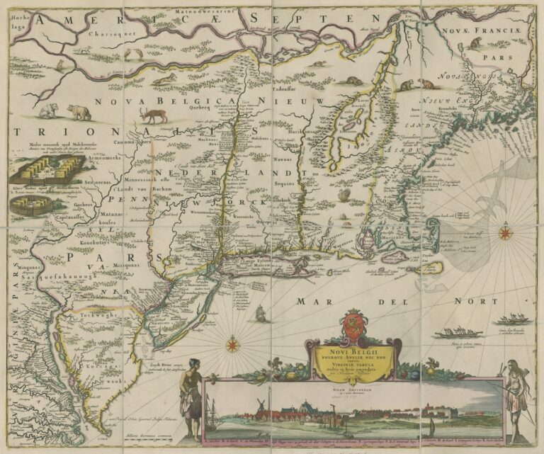
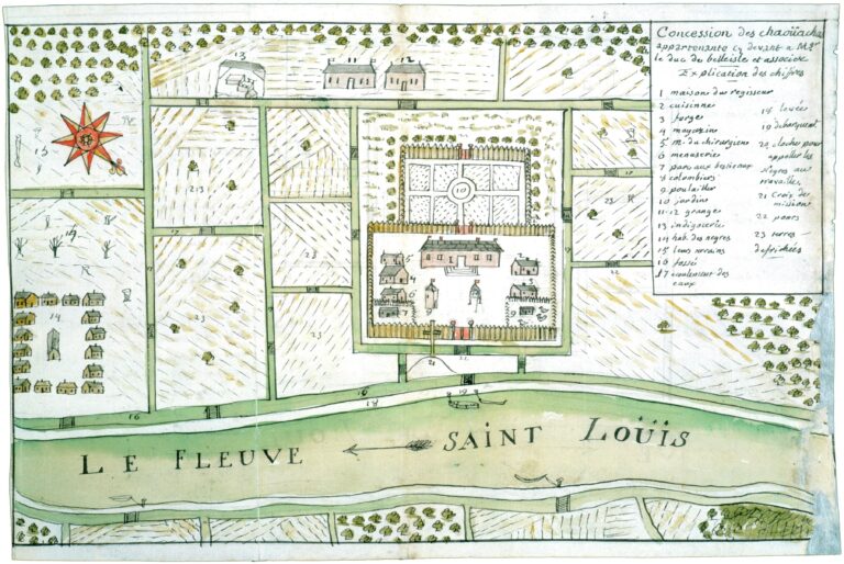
How can old maps help us understand the complexities of colonization in North America? What sorts of evidence do they offer? Does their distinct styling, framing, and content change how a particular landscape can be represented? Might these elements have in fact aided colonization in the Black Hills?
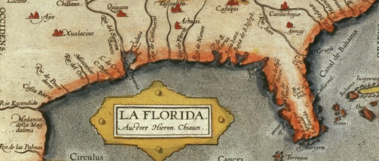
What can maps tell us about how people from different times, places, and cultures make sense of their world? How did maps and mapmaking influence the development of colonial North America?