

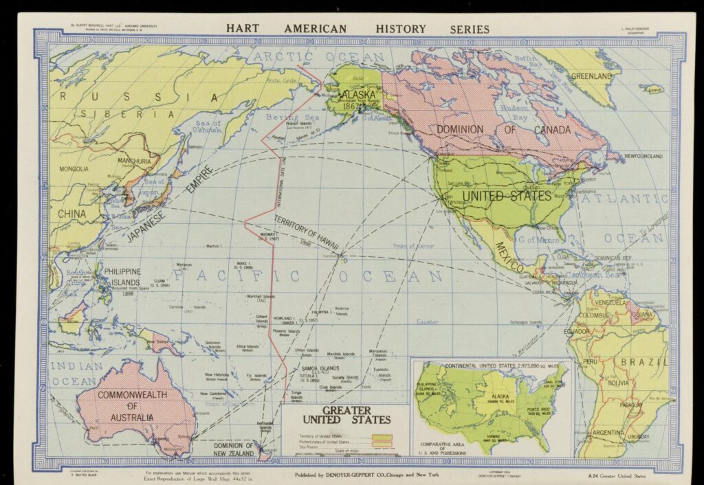
At the close of the nineteenth century, the United States had accomplished something remarkable. Combined with their purchase of Alaska in 1867 and the overthrow of the Hawaiian monarchy in 1893, victory in the Spanish-American War of 1898 put the United States in power over 700,000 square miles of noncontiguous territory and over 10 million people–from the Caribbean to the South China Sea and beyond the Arctic Circle.
The acquisition of overseas territory (Alaska, Hawaiʻi, Puerto Rico, the Philippines, Cuba, Guam, and several Samoan islands by 1898) was followed by other military interventions and occupations (in the Dominican Republic in 1905, Nicaragua in 1912, and Haiti in 1915), and new acquisitions (the Panama Canal Zone in 1903 and the US Virgin Islands in 1917).
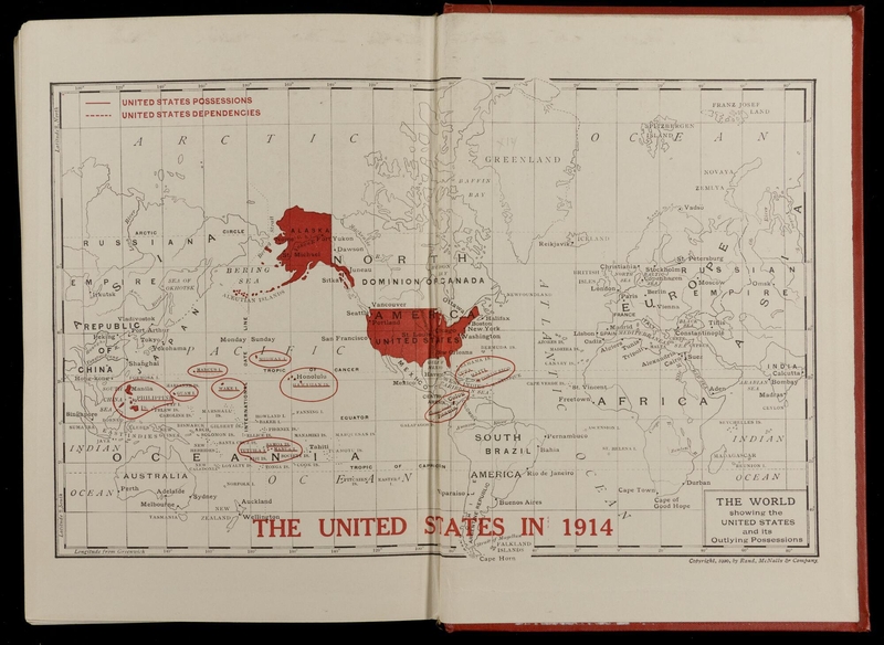
With the horizons of American power and territory expanding, so also did the appetite for detailed knowledge about the people and land that the US now held in its possession. Back home, Americans were learning a new way to envision their nation. Descriptions of the United States–in promotional publications, classroom maps, geography textbooks, and morning newspapers–shifted to accommodate new political realities. The US was not simply a continental juggernaut, but a globe-spanning empire. The sources assembled here showcase the emerging language (both textual and visual) that Americans used to communicate the shape, size, and character of their new global profile–the “Greater United States”–during the first two decades of the twentieth century.
Some of the sources in this exhibit are purely visual (like maps and engravings), while others are longer passages of text from various publications. Teachers adapting these materials may find it useful to choose shorter excerpts from the longer text selections to fit the demands of time or grade level in their classrooms.
Guiding Questions
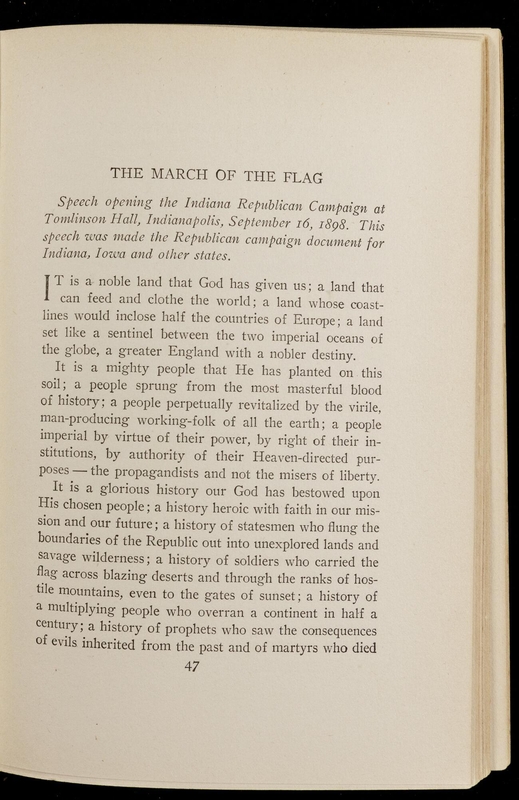
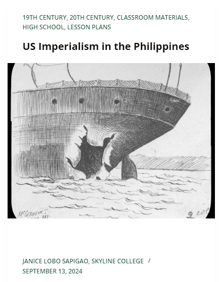
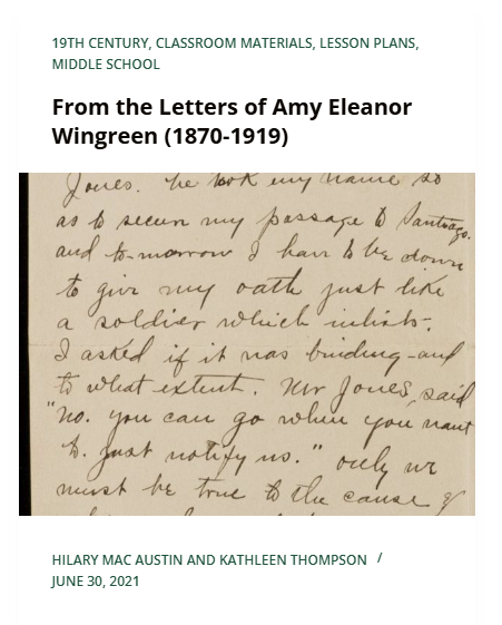
In this set of sources, we encounter prominent public commentaries on the work to be undertaken in American overseas territories at the turn of the twentieth century—one from an Indiana Senate candidate, one from the American Governor-General of the Philippines, and one from a journalist covering the Philippine Insurrection against the Americans.
In the first source, US Senate hopeful Albert J. Beveridge gives a rousing 1898 campaign speech to his fellow Indiana Republicans. His speech, published widely as “The March of the Flag,” not only helped him secure victory in the race and prestige within his party, but earned permanent status as a classic of American political rhetoric from a renowned orator at the heights of his imperialist passions.
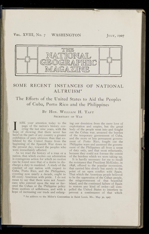
The second source is a 1907 speech given by William Howard Taft to a millers’ convention in St. Louis, Missouri, reproduced in National Geographic Magazine. An Ohioan and prominent insider in Teddy Roosevelt’s Republican party during the Progressive Era, Taft preceded his 1908 run for US president with several high-level appointments in the United States’ new imperial administration–first as Governor-General of the Philippines (during and after the insurrection), a provisional governor of Cuba, and the Secretary of War in Roosevelt’s cabinet. Here, Taft gives a whirlwind tour of the feats of infrastructure, sanitation, education, trade and governance that the US government implemented in Cuba, Puerto Rico, and the Philippines—all evidence, in his words, of the Americans’ “generous, earnest effort to uplift these people.”
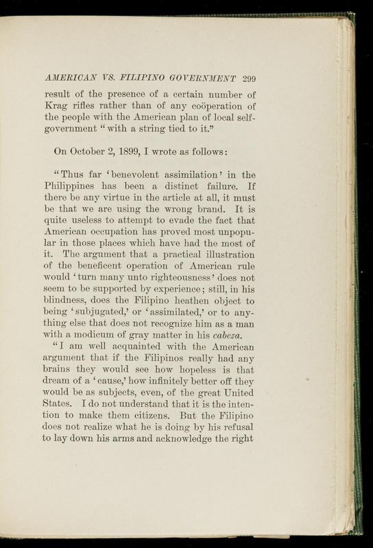
The third source offers a journalistic view of the Philippine insurrection, written by Albert G. Robinson, who covered the conflict for six months for the New York Journal, casting a far less positive light on US conduct in the Philippines.
Ask Students
In this set of sources, authors of educational texts and schoolbooks set out to describe the new American empire in the early twentieth century. Though less overtly political in motive and genre than our first set of sources, these volumes mobilized similarly nationalistic rhetoric and dynamic imagery to help American students identify with the mission, vision, and adventure of Pacific and Caribbean expansion.
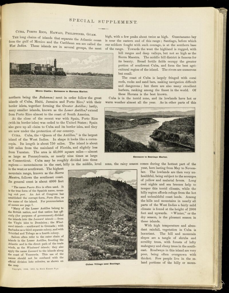
In the first source, the 1898 edition of widely-used grammar school resource Frye’s Geography presents a “special supplement” on the newly acquired US possessions of Guam, the Philippines, Hawaiʻi, Puerto Rico, and Cuba. Each one conducts an illustrated tour of cultures, landforms, climates, and resources, from the “happy, light-hearted race” native to Hawaiʻi to the “fierce and warlike” tribes believed to inhabit the remote corners of the Philippine archipelago.
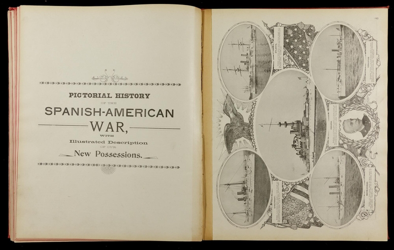
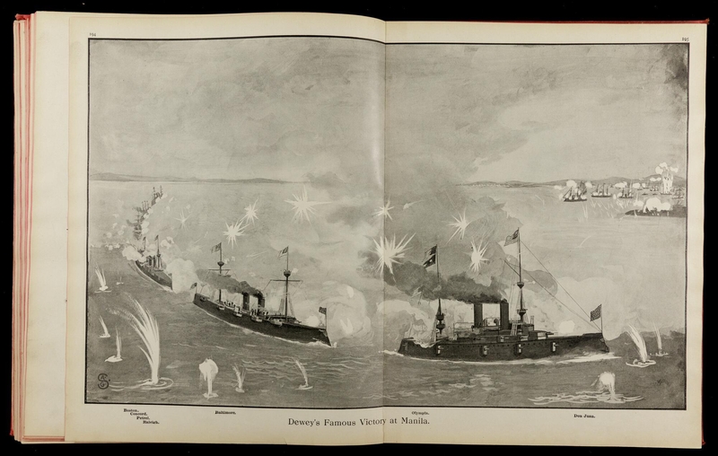
In the second source, another classroom text, the 1899 Pictorial Atlas of the Greater United States and the World, the editors commissioned an extended illustrated subsection depicting the major players and key battles of the recently concluded Spanish-American War, from portraits of the heads of state of the US and Spain, photographs of battleships, sailors, and soldiers, to hastily rendered paintings of battles at Santiago, Manila, and San Juan Hill.
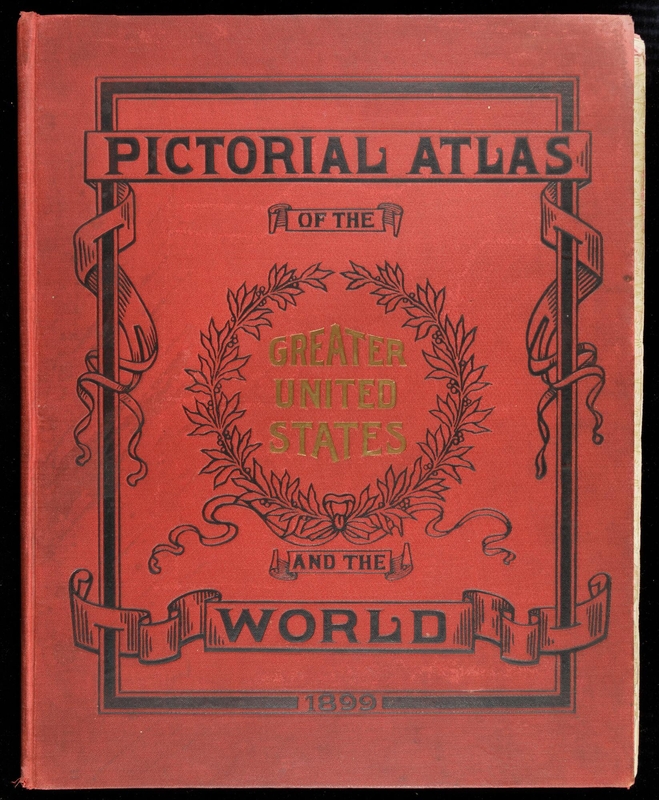
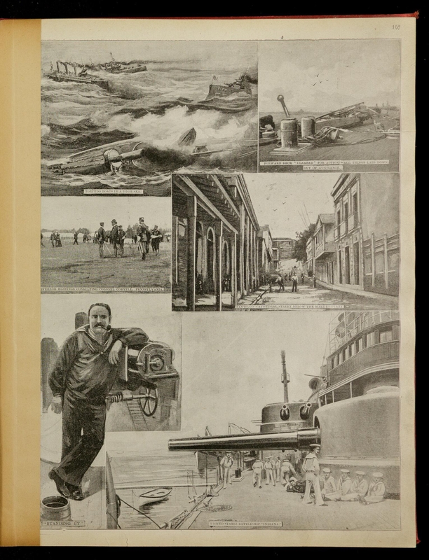
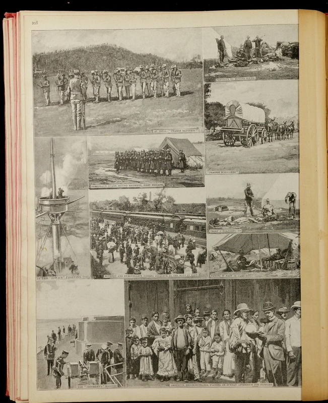
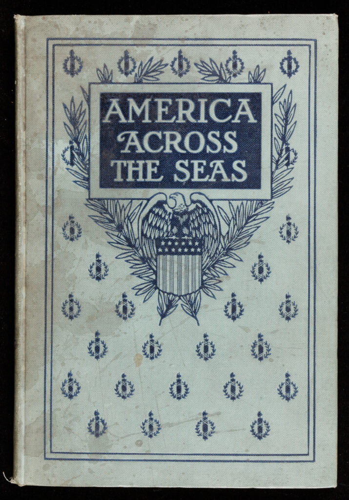
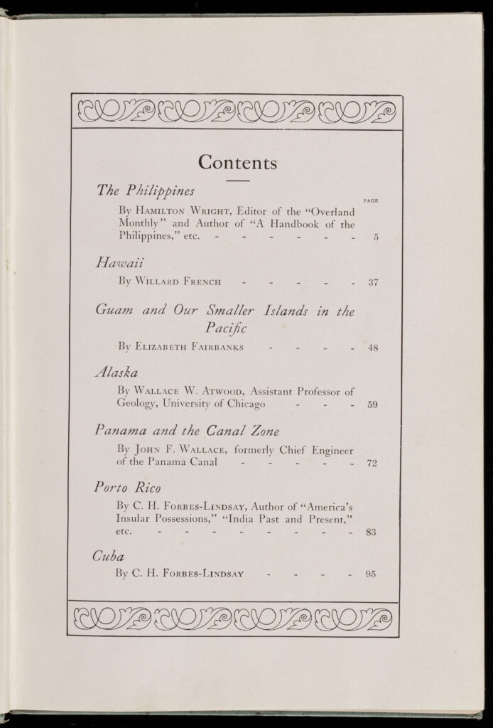
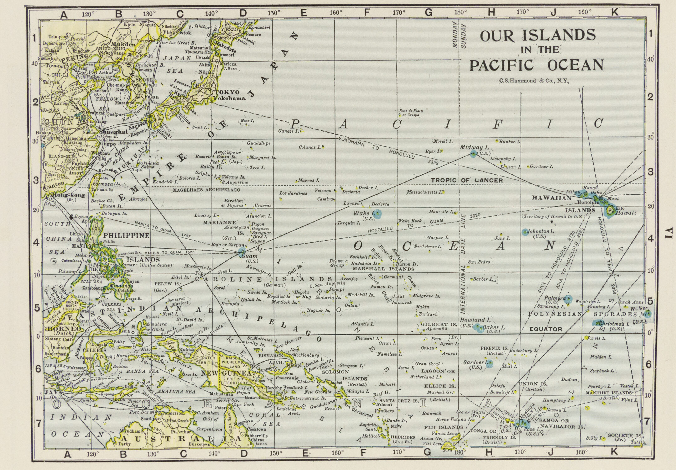
In the third source, map publisher C.S. Hammond presents an illustrated collection of essays on what the editors refer to as Our Colonial Empire. Each essay covers one of seven US possessions. Color maps and black-and-white photos showcase the industries, agriculture, and folk life of the territories.
The fourth source, a 1914 volume compiled by William D. Boyce, prominent newspaper man and Boy Scouts of America founder, conducts a similar tour, adding in Haiti and the Dominican Republic under “Our Dependencies.” A strident proponent of the US empire’s “moral responsibility,” Boyce took special time to inveigh against Filipino independence, where he warned that disaster would ensue if “the difficult task of self-government is placed in their childish hands.”
Ask Students
In this set of sources, we see the range of new United States maps produced at the turn of the twentieth century. In each one, mapmakers and publishers attempt new conceptual and aesthetic approaches to depicting the physical extent of the US empire.
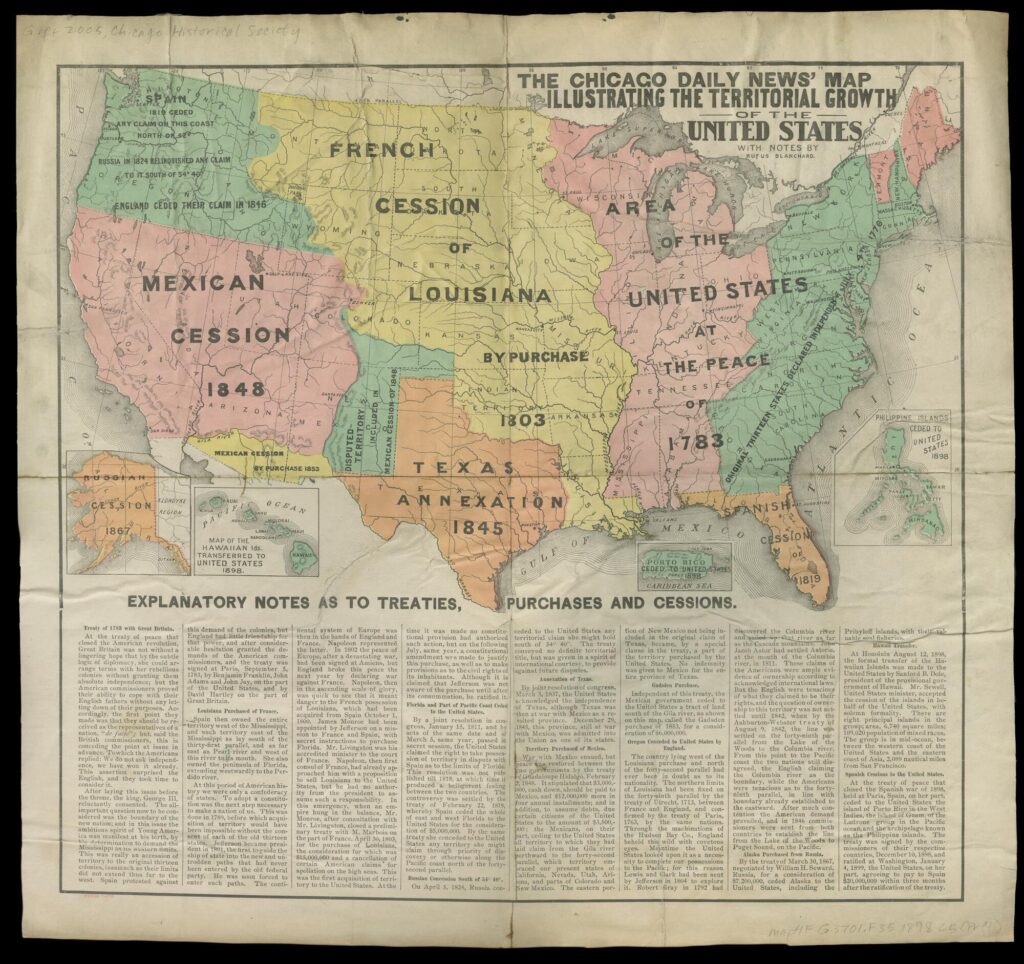
In the first source, we see prolific mapmaker Rufus Blanchard take a narrative approach to US territorial expansion for readers of the Chicago Daily News. Blanchard combines the most recent US acquisitions in the Arctic, Pacific, and Caribbean with a color-coded map of previous purchases, annexations, and cessions as part of a story of “growth” for the nation.
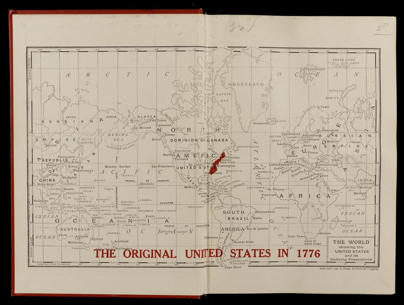
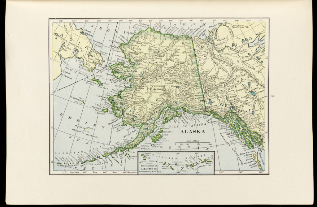
Our second source takes a closer look at the Hammond maps in America Across the Seas (1909) which included detailed magnifications of each territory and cutaway diagrams of the Panama Canal.
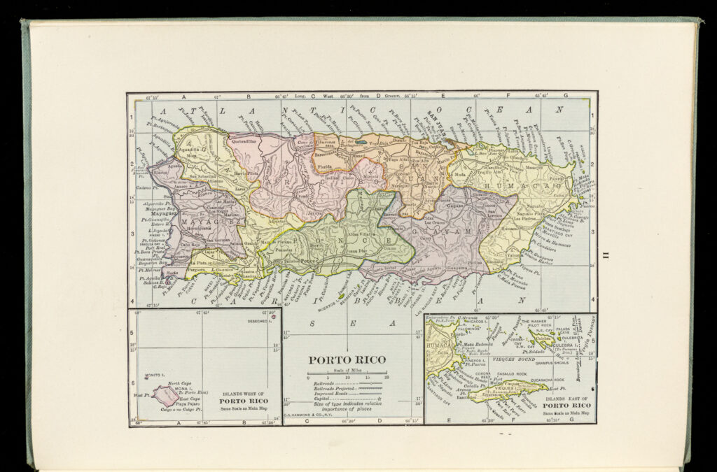
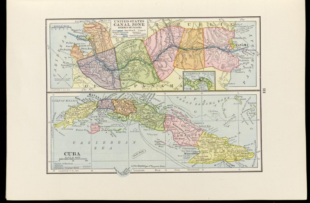
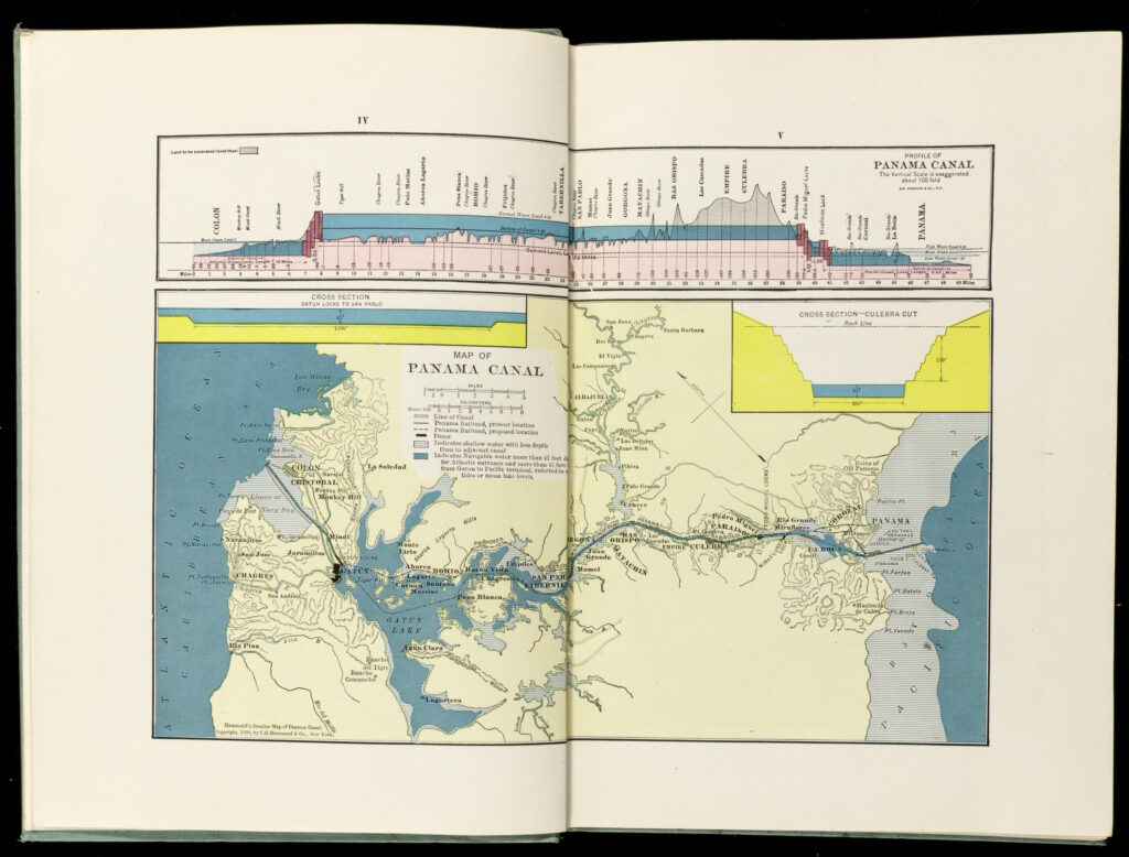
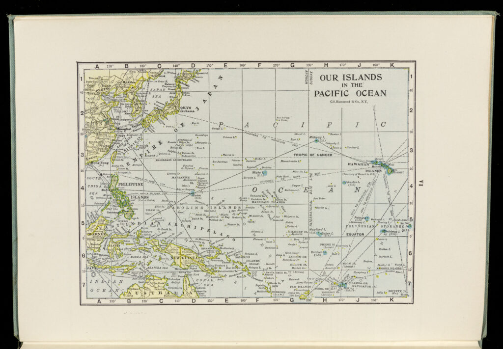
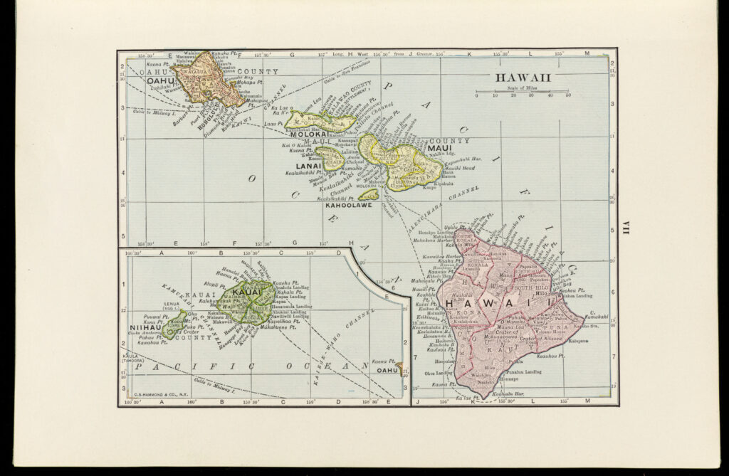
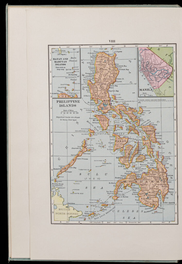
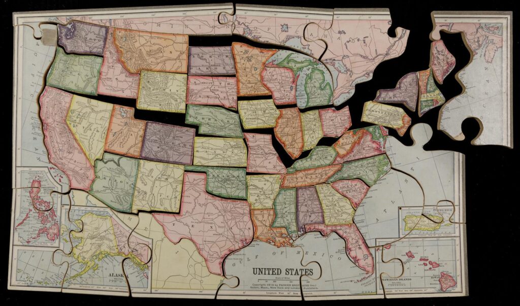
In the third source, we encounter an interactive tool of geographic pedagogy–a 1914 Parker Brothers jigsaw map puzzle of the United States. Striking in this edition is the inclusion of overseas territories, with space made at the margins of the continental map for youngsters to plug in pieces for Alaska, Hawaiʻi, Puerto Rico, and the Philippines (none of which were states at the time).
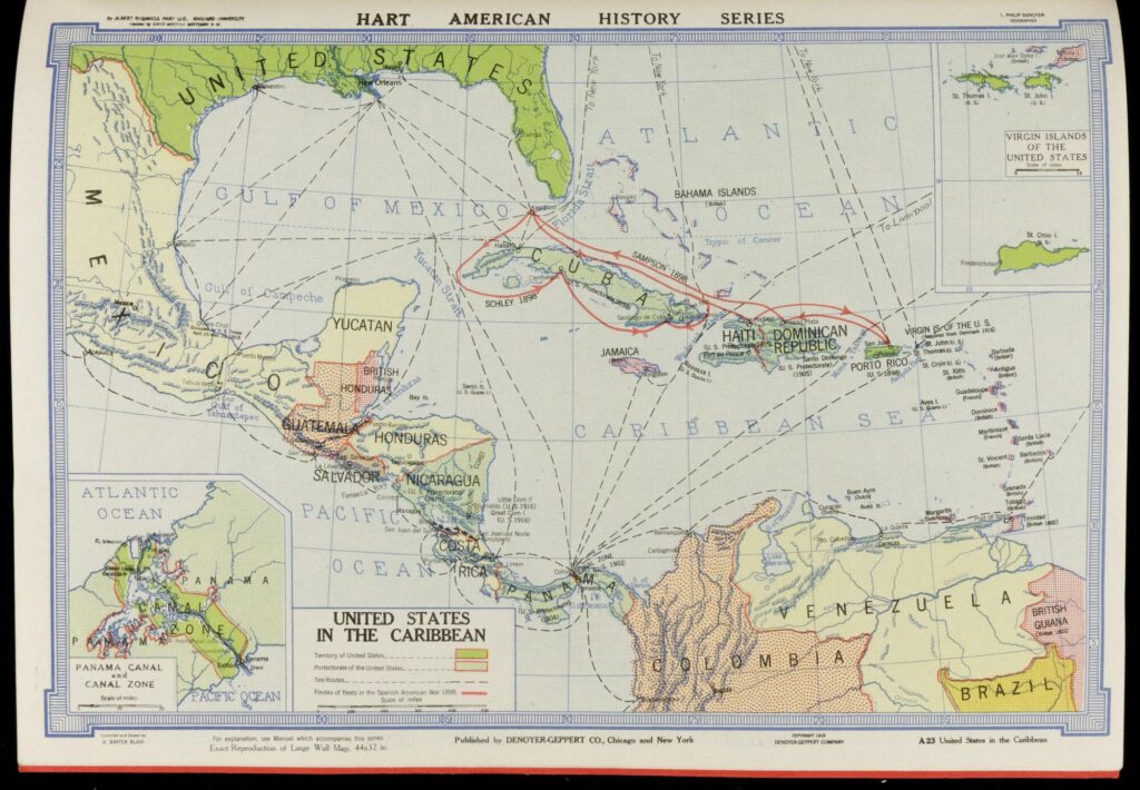
In the fourth source, we see what might be termed an “official” set of classroom maps: a volume of reduced-size reproductions of Denoyer-Geppert wall maps, widely used in American classrooms throughout the early twentieth century, and compiled as an atlas of American history by Harvard historian Albert Bushnell Hart. Of particular interest are the maps of “The United States in the Caribbean” and the “Greater United States.” In the former, Hart and the Denoyer-Geppert mapmakers zoom in on the Caribbean basin to name, color, and date all of the US interventions and acquisitions between 1898 and 1918. The effect is striking, showing that at some point during that era, Cuba, Puerto Rico, Haiti, the Dominican Republic, Panama, Nicaragua, the Virgin Islands, and several guano islands were either territories or protectorates of the US. In the “Greater United States” map, the editors present a Hawaiʻi-centric projection of the nation, accentuating the global reach of the new empire, with the US connecting the Atlantic and Pacific through Panama. An inset on “Comparative Area of US and Possessions” emphasizes the size of overseas territories by pasting them inside the silhouette of the continental US states.
Ask Students
Nicholas Kryczka is a historian of urban education, a teacher educator, and an Assistant Professor of Secondary Education for Social Studies at National Louis University in Chicago. Nick was the research coordinator for American Lesson Plan, the American Historical Association’s national study of K12 US history education. He has taught at Lake Forest College and at the University of Chicago, where he earned his PhD in history and worked as a postdoctoral teaching fellow. Before doctoral studies, Nick taught high school social studies for a decade in the Chicago Public Schools and has developed teacher programming and instructional resources for the Newberry Library and the Chicago Collections Consortium. Nick’s work has been published in The American Historical Review, History of Education Quarterly, the Journal of the Illinois State Historical Society, and Oxford Bibliographies.
In these texts leading politicians and journalists make public cases for and against American empire. US Senate candidate Albert J. Beveridge and Secretary of War and presidential hopeful William Howard Taft both argued that imperialism benefited both the US and colonial territories. Journalist Albert Robinson, who covered the Philippine-American War, was much more critical.
In this set of sources, authors of educational texts and schoolbooks describe the new American empire for learners. These volumes were less overtly political than the commentaries above, but they used similar nationalistic rhetoric and dynamic imagery to help American students identify with the mission, vision, and adventure of expansion.
These sources demonstrate the range of new United States maps produced at the turn of the twentieth century. In each one, mapmakers and publishers attempt new conceptual and aesthetic approaches to depicting the physical extent of the US empire.
David Brody. Visualizing American Empire: Orientalism and Imperialism in the Philippines. Chicago: University of Chicago Press, 2010.
Elizabeth M. Eittreim. Teaching Empire: Native Americans, Filipinos, and US Imperial Education, 1879-1918. Lawrence: University Press of Kansas, 2019.
Julian Go, American Empire and the Politics of Meaning Elite Political Cultures and the Philippines and Puerto Rico during U.S. Colonialism. Durham, NC: Duke University Press, 2008.
Kristin L. Hoganson. Fighting for American Manhood: How Gender Politics Provoked the Spanish-American and the Philippine-American Wars. New Haven, CT: Yale University Press, 1998.
Richard H. Immerman. Empire for Liberty: A History of American Imperialism from Benjamin Franklin to Paul Wolfowitz. Princeton, NJ: Princeton University Press, 2010.
Daniel Immerwahr. How to Hide an Empire: A History of the Greater United States. New York: Farrar, Strauss, & Giroux, 2019.
Matthew Frye Jacobson. Barbarian Virtues: The United States Encounters Foreign Peoples at Home and Abroad, 1876–1917. New York: Hill & Wang, 2000.
Paul A. Kramer. The Blood of Government: Race, Empire, the United States, and the Philippines. Chapel Hill: The University of North Carolina Press 2006.
Paul A. Kramer. “Power and Connection: Imperial Histories of the United States in the World,” American Historical Review 116, no. 5 (2011): 1348–91.
James G. Morgan. Into New Territory: American Historians and the Concept of US Imperialism. Madison: University of Wisconsin Press, 2014.
Clif Stratton. Education for Empire: American Schools, Race, and the Paths of Good Citizenship. Berkeley: University of California Press, 2016.