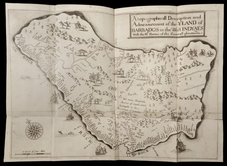
17th Century, Classroom Materials, College Prep, Lesson PlansResistance in the Colonial Caribbean (Advanced)Dr. Christopher Fletcher, Newberry LibraryJune 11, 2024
17th Century, Classroom Materials, High School, Lesson PlansResistance in the Colonial CaribbeanDr. Christopher Fletcher, Newberry LibraryJune 11, 2024
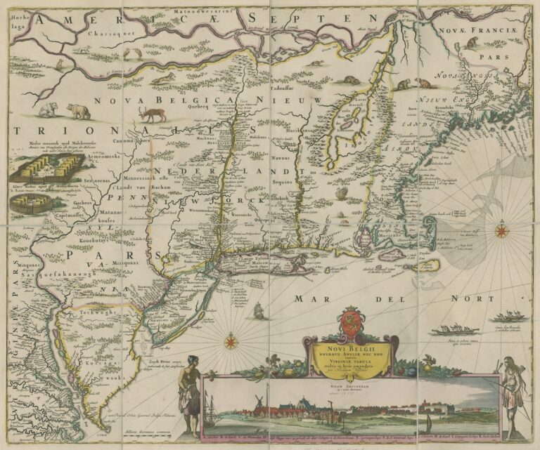
17th Century, Activities, Middle SchoolMapping Early America: Peoples, Animals, and EnvironmentsDr. Danielle AlesiMay 28, 2024
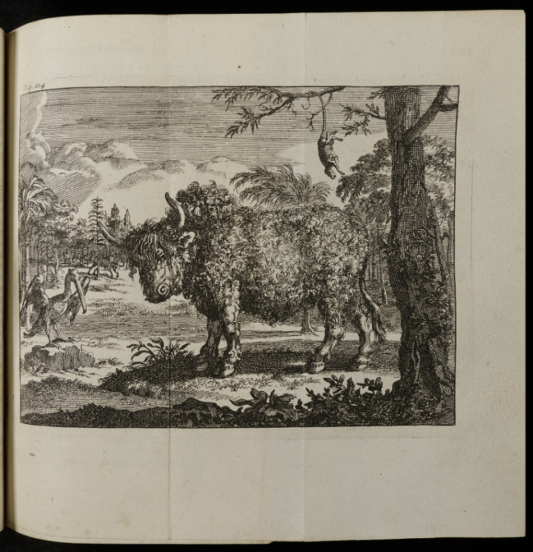
17th Century, Classroom Materials, High School, Lesson Plans, Middle SchoolEarly European Travel in Illinois: Land, Animals, and the EnvironmentDr. Danielle AlesiMay 28, 2024
19th Century, 20th Century, Classroom Materials, Collection EssaysUnited States Expansion, Migrants, and Transportation Technologies, ca. 1810-1930Gabrielle Guillerm, PhDSeptember 14, 2022
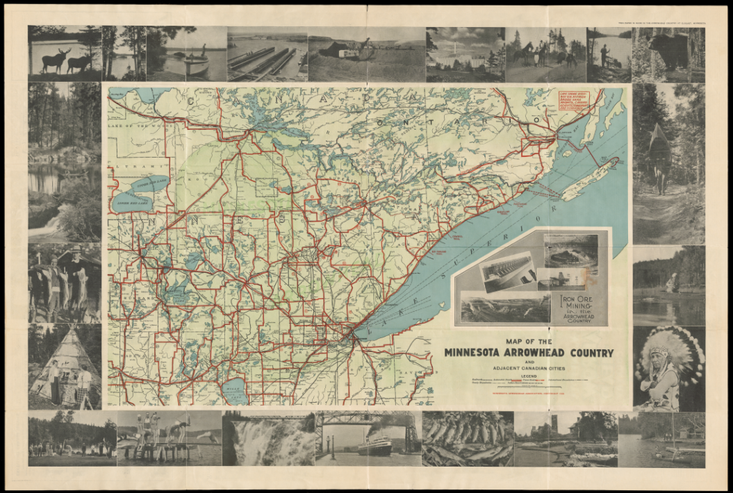
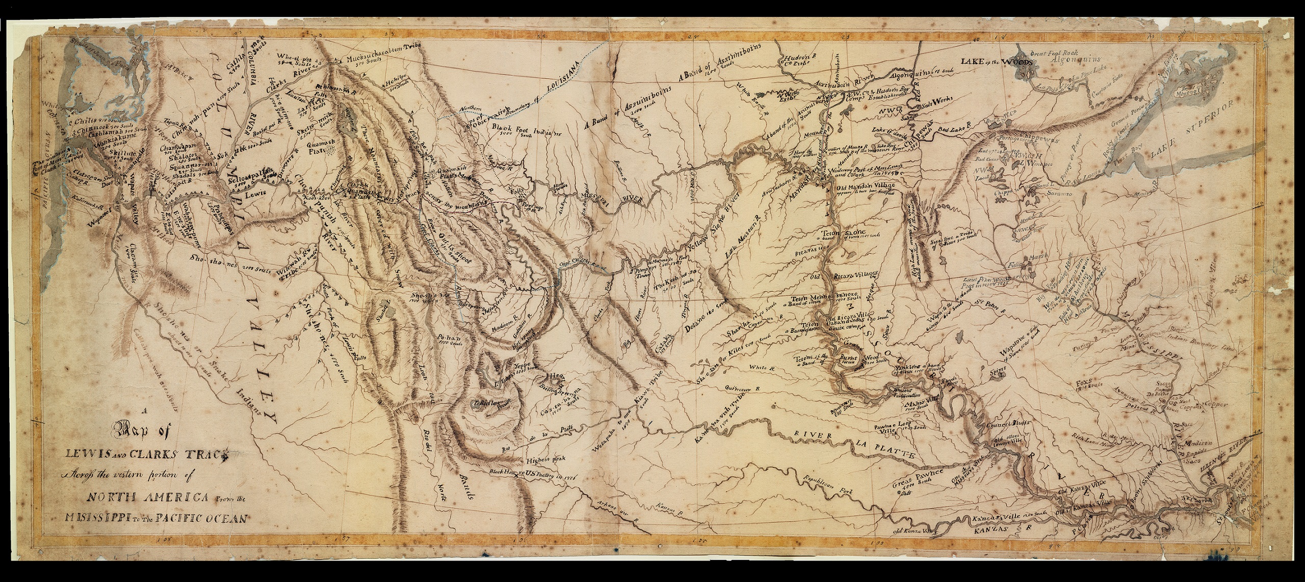
18th Century, 19th Century, 20th Century, Collection EssaysMaps as Heritage: Commemoration and Travel in American CartographyNicholas Kryczka, PhDAugust 31, 2022
19th Century, Classroom Materials, High School, Lesson PlansPerspectives on the United StatesHilary Mac Austin and Kathleen ThompsonApril 6, 2022
19th Century, Activities, Classroom Materials, Middle SchoolThe Second Great AwakeningHilary Mac Austin and Kathleen ThompsonApril 5, 2022
18th Century, Classroom Materials, Collection Essays, High SchoolNative Nations in an Age of Empire and Revolution: GlossaryRachel Banke, PhDMarch 23, 2022
18th Century, Classroom Materials, High School, Lesson PlansNative Nations in an Age of Empire and Revolution, 1750-1783: AssessmentsRachel Banke, PhDMarch 23, 2022
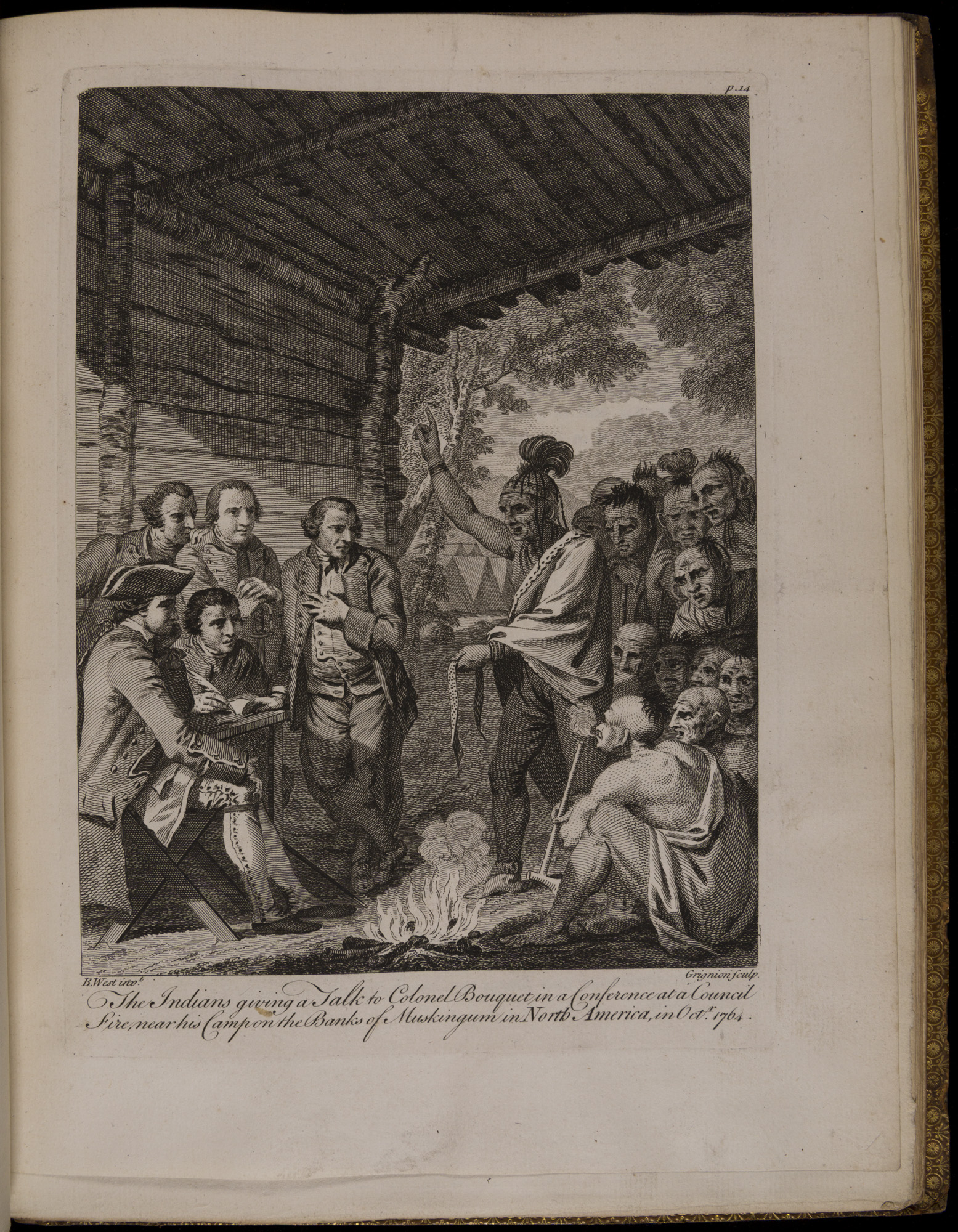
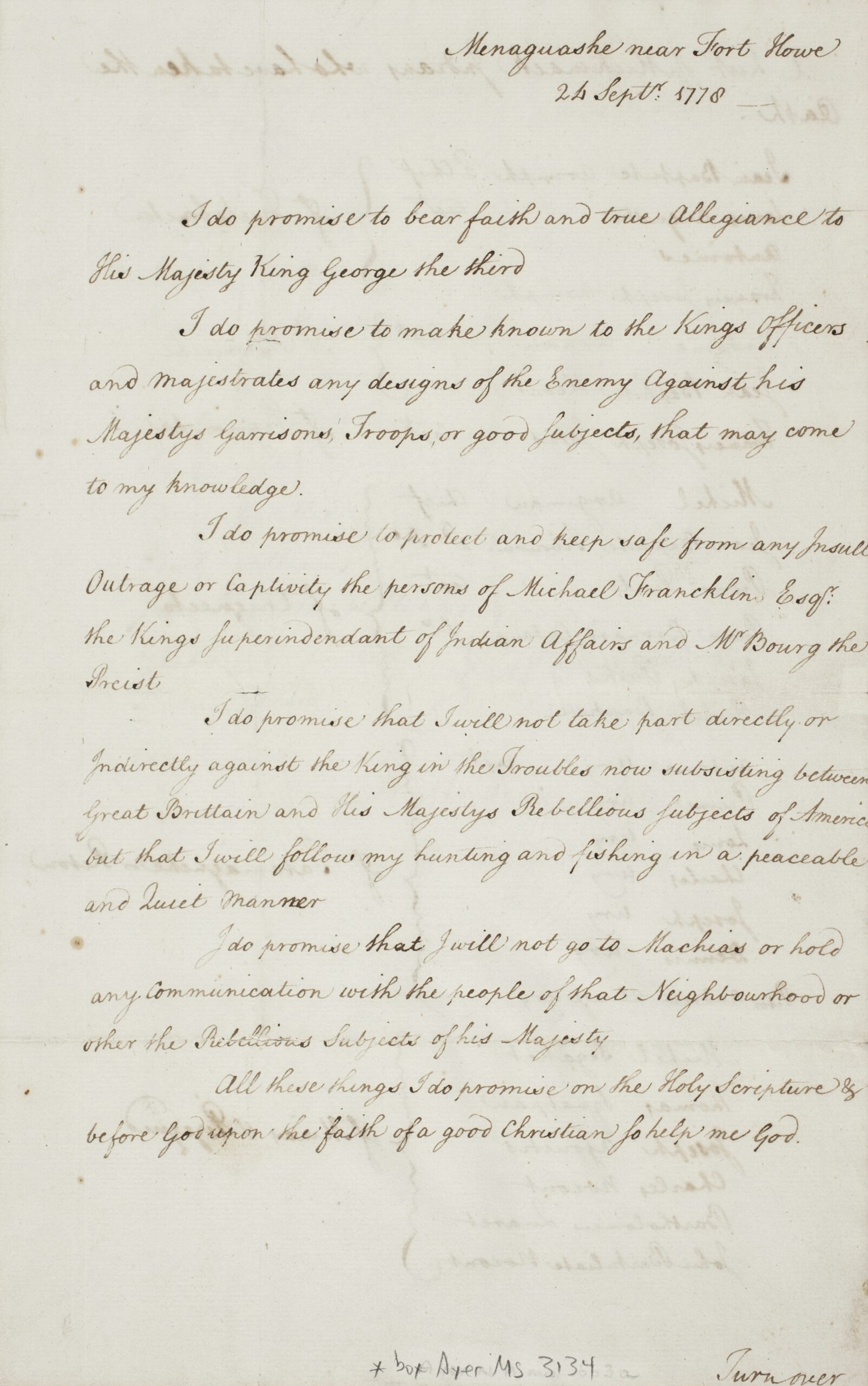
17th Century, 18th Century, Activities, Classroom Materials, High SchoolNative Nations in an Age of Empire and Revolution, 1750-1783: Primary Source ActivitiesRachel Banke, PhDMarch 17, 2022
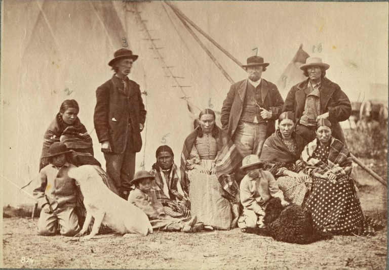
19th Century, Activities, Classroom Materials, Elementary SchoolFort Laramie and the DakotaHilary Mac Austin and Kathleen ThompsonJune 23, 2021