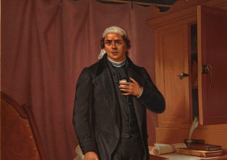
19th Century, Activities, Classroom Materials, Middle SchoolComparing PortraitsHilary Mac Austin and Kathleen ThompsonJune 25, 2021
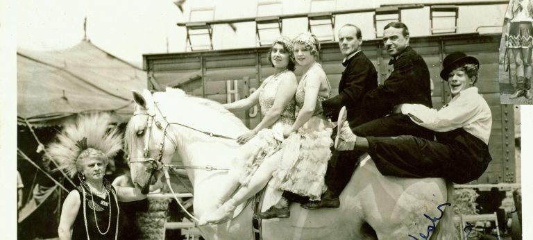
20th Century, Activities, Classroom Materials, Elementary SchoolThe Clarke-Hanneford FamilyHilary Mac Austin and Kathleen ThompsonJune 23, 2021
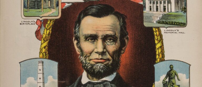
19th Century, 20th Century, Collection EssaysAbraham Lincoln’s Legacy in MusicThomas J. KernanJune 14, 2018
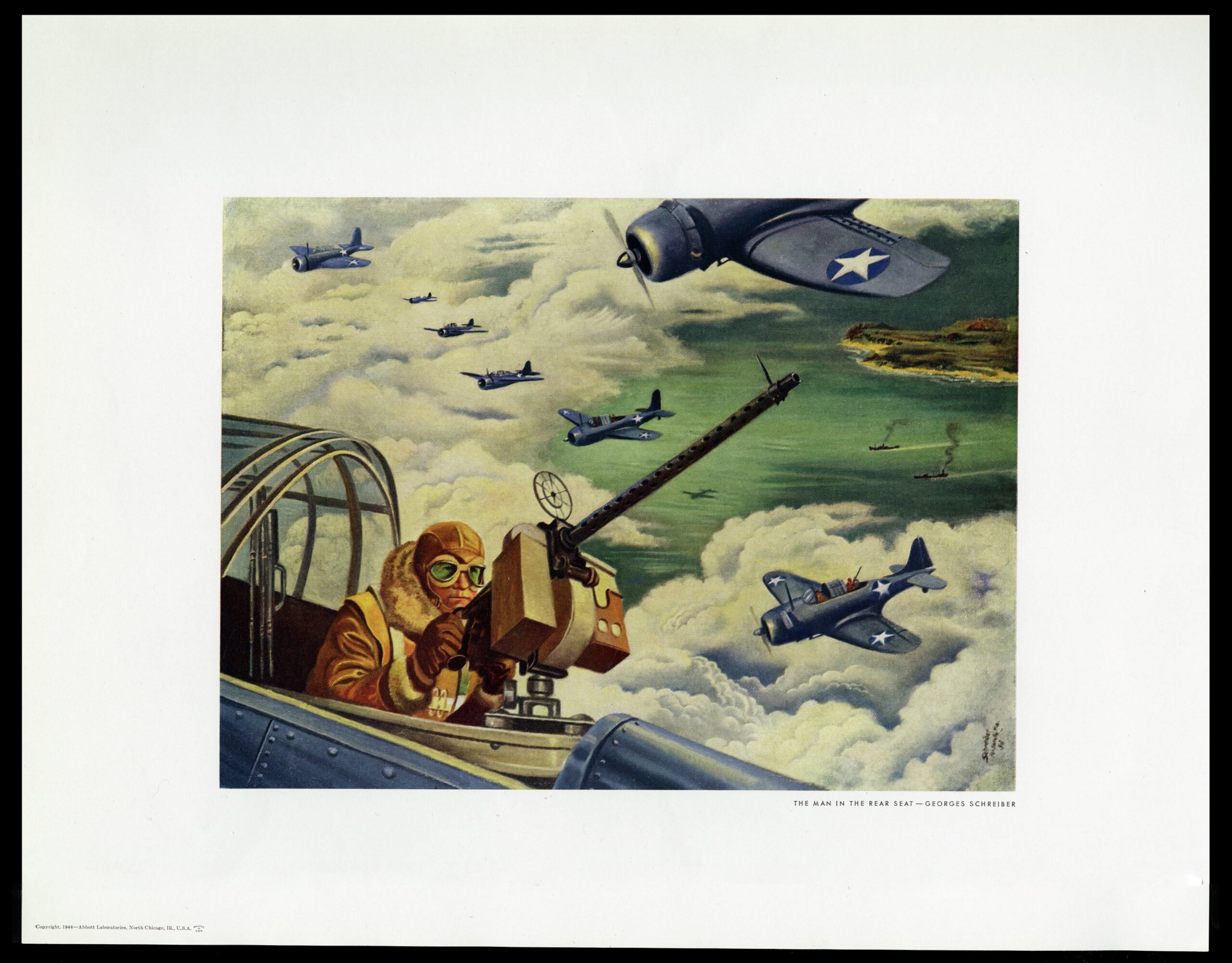
20th Century, Collection EssaysWorld War II and American Visual CultureHow did the popular media document the people and activities of the homefront and the battlefront?Mark B. PohladAugust 1, 2017
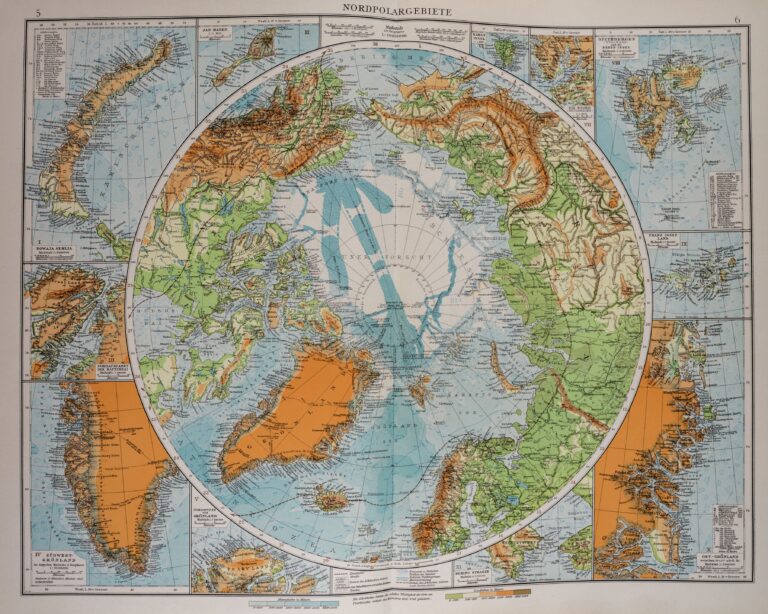
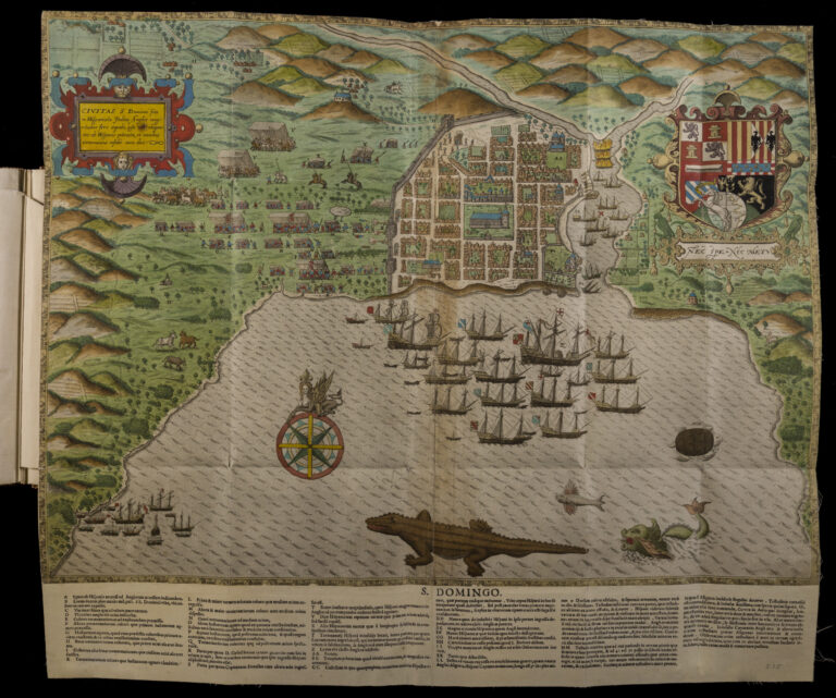
16th Century, 17th Century, 18th Century, 19th Century, 20th Century, Collection EssaysThinking about World History: Historic Maps as SourcesWhat can old maps teach us about world history? What sorts of evidence do they offer, and is displaying evidence the main purpose of these maps, or can they do other things?Peter NekolaAugust 1, 2017
16th Century, Collection EssaysTudor Visual CultureHow does studying visual culture help us to understand history better?Libby Karlinger Escobedo, Ph.D.January 12, 2017
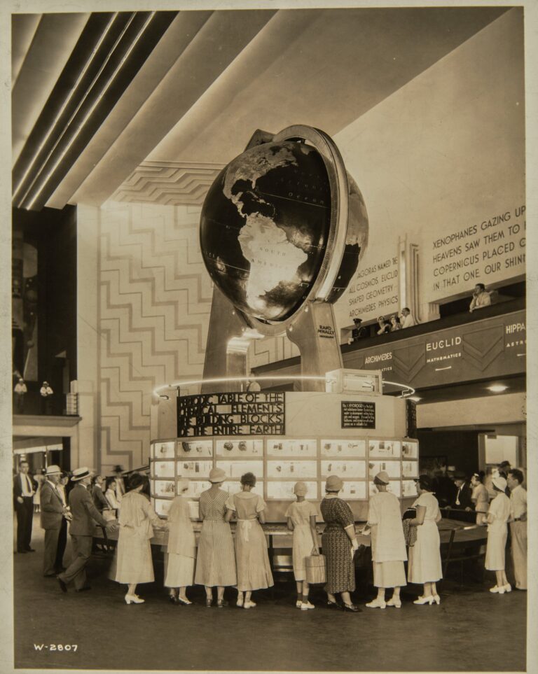
20th Century, Collection EssaysPicturing the Century of Progress: The 1933-34 Chicago World’s FairHow did the creators of the Century of Progress illustrate and enact the fair's theme of progress?Newberry StaffJuly 12, 2016
20th Century, Collection EssaysArt In Chicago 1900-1935What groups, organizations, and individuals influenced the arts in Chicago in the early twentieth century?Newberry StaffJune 15, 2016
19th Century, Collection EssaysHome Front: The Visual Culture of the Civil War NorthHow did images shape the meaning of the war for people at home and the meaning of the home during wartime?Hana Layson with Daniel GreeneNovember 15, 2013
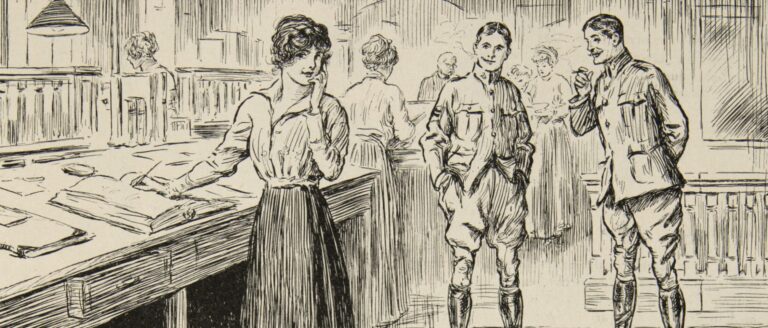
20th Century, Classroom Materials, High School, Lesson PlansReading Visual Images: The First World WarSusan BinkisJune 13, 2013